“You’re designing a geographically small but almost unrealistically varied area. (You somehow managed to explain why a Jungle could appear within a day’s travel)” – Litis
Yes, well, sorta. I have avoided specific distances up to this point for reasons.
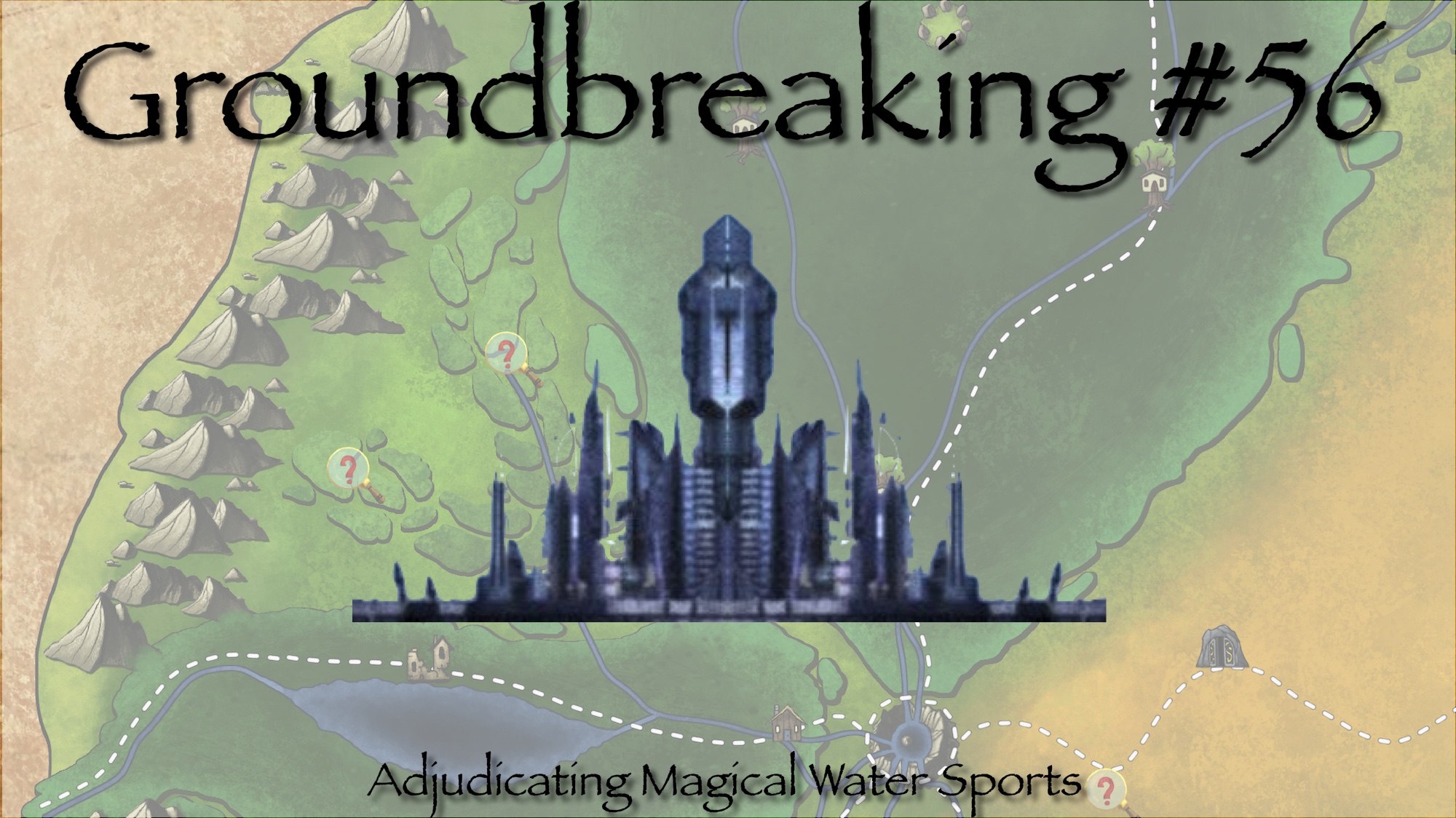
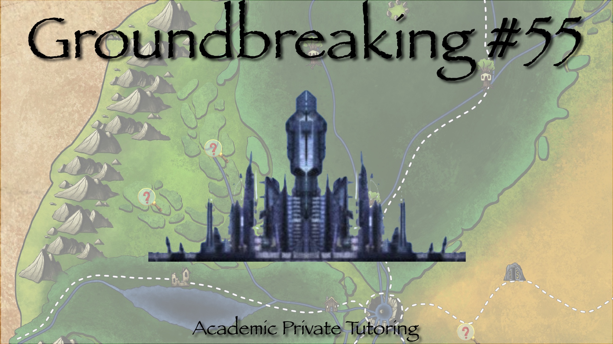
 Hello there and welcome back to Groundbreaking. Randal here. I have been avoiding this topic since pretty much the beginning, but after chatting about it on the Know Direction Discord server, I felt it was time. Buckle up for this oversized review and talk about scale.
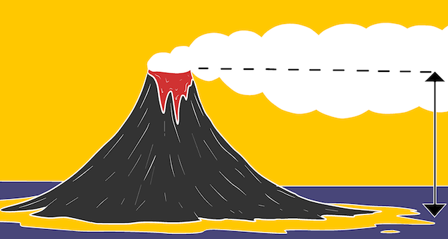
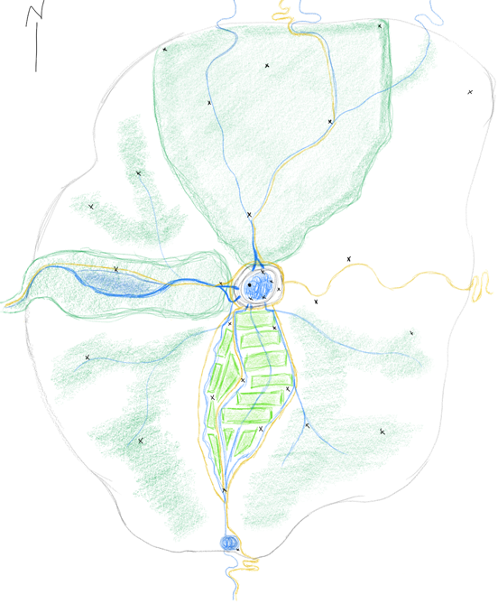
The entire region discussed is known as Marathis’ Cradle, a large mountain basin with an average elevation of roughly 6,000 ft. that is surrounded by steep but not exceptionally treacherous mountainous terrain. The name comes from local tales that an ancient sky deity named Marathis fell from the moon, creating the basin and volcano upon impact. These stories have led to other regional names such as Mount Marathis, Marathis’ Goblet, and Marathis’ Finger. Mount Marathis is the volcano, Marathis’ Goblet is the caldera at the top, and Marathis’ Finger is a large obsidian column that rises above the lake in the caldera.
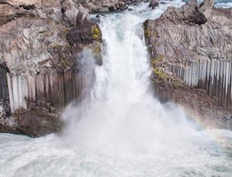 Waterfalls carry fey-infused water and fish down the mountain to rivers that supply the entire basin with life. Forest to the North referred to as The Hunting Grounds, farmlands to the South known as The Markets, a rainforest valley to the West called The Misty Forest and desert to The Dry East round out the the major biomes that we have detailed thus far. If we take the descriptions at face value, it is implied that each of the 4 regions begins at the base of Mount Marathis, extending in their compass direction. Depending on how wide the base of the mountain is, this can be possible, even if unlikely, or it can be downright unbelievable.
Let’s take a quick look at the numbers we have explicitly stated, calculated, or implied:
- the basin is 6,000 ft. elevation
- highest point of the rim is 7,000 ft
- a caldera roughly 4 miles wide (e/w) and 5 miles long (n/s)
- the lake’s surface is at roughly 6,500 ft
- traveling up the volcano to the caldera, however is a test of physical endurance
- villages scattered around the mountain are considered part of the larger community
- allow logs of all sizes to be brought from miles away
- farming communities that stretch for miles upon miles
- markets are held in this region, spaced every couple miles
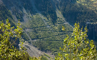
Starting with the caldera and the lake, we have a lake perimeter of roughly 18 miles by adding the width and length twice. This means a leisurely stroll around the lake would take under a day. Climbing from the base of the volcano to the top and down the lake requires rising 1,000 feet and then descending 500 feet. Because we know that this trip is (supposed to be) a test of endurance, let’s assume that the average grade is between 10%-15%. Conservatively, this means that the trail is 10 ft long for each foot of elevation change, making the entire 1,500 feet of change in elevation take 15,000 feet of travel (which we can round up to 3 miles for simplicity). If we add half a mile as the width from the lake perimeter to the outer edge of the rim, and make the base of the mountain have an extra mile on all sides from the rim, we can make any given trail roughly 4.5 miles of total travel. Based on some googling, this trip should take 3-5 hours for an unencumbered person of a reasonable level of fitness, so we can assume anybody with wagons or carts or carrying other goods or gear is going to take a full 6-8 hours due to the slower speeds necessary to ascend or descend safely.
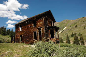
We know that there are villages scattered around the mountain. These are mostly around the base of the mountain where the ascending trails meet the main roads and rivers that head off in various directions. Most of these villages are small affairs that comprise of an inn and tavern for travellers to rest at before ascending or after descending the mountain, with a shop or two and perhaps a small farm or hunting lodge to provide food for the locals, as well as various clearings and sheds or barns to store various things that need to be taken to or from the lake. The farms are nothing compared to those to the South, while the lodges pale next to the great hunting lodges to the North. This accounts for there being multiple villages within easy reach of both the caldera and the waterfalls all on the mountain proper.
Briefly, we note that logs can be brought in from miles away. Originally, this is for logging on the northern slope of the mountain, but it wouldn’t be a very big stretch to say that they mechanisms in place would allow for lumber to come from days away, instead of just “miles away.” Once you hit the basin floor at the base of the mountain, the rivers would be less treacherous and thus easier to move lumber against the current to a point where the gnomish log movers could then help against the stronger currents in the mountainous areas. Looking south, we said that the farming communities stretched for miles upon miles and that markets are spaced every couple miles. This was pretty much just me being less than accurate and a little lazy in my wording. In rural areas that have a population you generally have some form of inn or cluster of buildings roughly spaced roughly a day’s journey (8 hours in our case) from each other. It was my intent that there would be markets at each of these locations along the southern roads.
With all of that information at hand, let’s discuss the scale of the basin directly. To be honest, the mountain likely isn’t tall enough to affect the weather in the region as I mentioned that it does, but I still want that to be an aspect of the region and will happily wave my GM hands and say “fey magic and ley lines” to get the result. As for the total size, unless I missed something in my recent review, we have no hard numbers. I wanted the northern forest to be deep and dense enough that non hunters could get lost for weeks, and I sort of mentioned that early settlers were to travel a week along the river to map it out before returning. Mixing and matching travel speeds of some water with some travel on foot in forest I am happy with 15 miles a day, 105 miles from the mountain base to the edge of the basin. Based on a rough map I drew when I started, the east/west dimensions are narrower, perhaps 80 miles in each direction, while the southern edge is probably 100 miles like the north. Spacing the farms out 20 miles from each other gives us 4 locations for markets, but the farms don’t reach far enough for the 4th location, so we have 3 major markets along the southern roads.
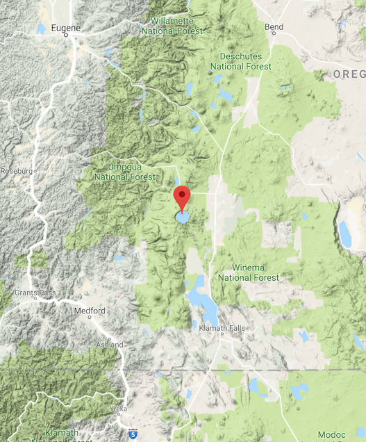
Scaled to Map of Crater Lake
This information gives us rough dimensions of 210 miles n/s and 170 miles e/w for an area of 35,700 miles and a perimeter of 760 miles. If we compare this to Crater Lake, which the size and shape of the caldera lake is based on we see that the region designed is roughly the same size as the southwest quarter of Oregon. It is a decent size, and capable of having the four types of areas laid out, but not quite likely without just saying “it is”. It would be a simple matter to double the distances in either direction, adding another 5,000-10,000 feet of height (and more width and length) to the caldera to provide that massive mountain that can affect weather without needing GM/magical assistance. Doing so is going to separate the regions further from each other and change the ways in which they interact such as how they govern themselves differently now that working together is less important and frankly less practical, how closely the different regions adhere to their belief that the waters are fey touched and that they owe respect to the villagers that keep up the old ways in deference to the fey legends, as well as if commerce is more of economical and less survival.
Scaled to Map of Marathis’ Cradle
Simply raising the height of the mountain can provide a little more weight to how it affects the region, with less need to worry about making the whole place bigger. Lessening the extremes of the different regions so that they are closer together with some distinctions in the further reaches could also allow for them to be different and yet a part of the whole. I leave those choices up to you and how you implement the region in your games, as I have gone on long enough for this week’s installment!
Please continue to join us at our Discord server https://discord.gg/Rt79BAj.